
Blog 2: The Vallard Atlas: A Map Ahead of Its Time
- Kerry Paul

- May 23
- 2 min read
Updated: Jun 30
JOURNEY 2 - SERIES 1 - BLOG 2 - A PART OF 3 BLOGS IN SERIES 1 - Reading time: 2 Mins
At the centre of the evidence supporting the voyage of Cristóvão de Mendonça is the famous Vallard Atlas of 1547, one of the most significant collections within the Dieppe map tradition. The atlas contains detailed maps depicting a landmass identified as “Illa do Magna” (“Great Island”), which many researchers associate with New Zealand’s North Island, together with an extensive representation of the eastern coastline of Australia. This discussion adds another dimension to New Zealand's origin story: Were the Portuguese in New Zealand first? These findings continue to shape debates surrounding New Zealand's First Settlers. The evidence also contributes to broader discussions about New Zealand Early European Explorers.
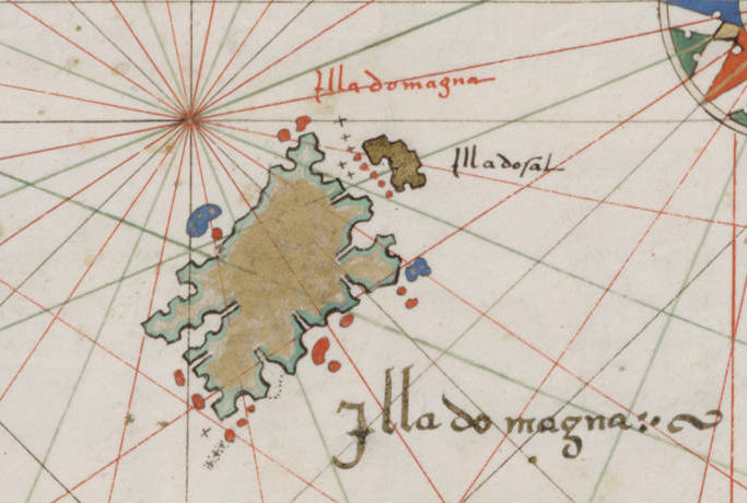
The Vallard Atlas is preserved in the Huntington Library and is renowned for both its artistic quality and navigational sophistication. Comprising 15 richly illustrated maps within the broader Dieppe map series, the atlas provides evidence of extensive Portuguese maritime exploration during the sixteenth century. Particularly significant is the depiction of “Jave La Grande” or “Terra Java,” which many historians believe closely resembles the eastern coastline of Australia.

Researchers have identified more than 120 Portuguese place names across these maps, strongly suggesting that the original cartographic information was derived from Portuguese navigators. Of even greater importance is the repeated appearance of “Illa do Magna” on several Dieppe maps, reinforcing the possibility that Portuguese explorers possessed early knowledge of New Zealand.
Supporters of the Mendonça hypothesis argue that the coastline shown on the maps bears a remarkable resemblance to several identifiable regions of New Zealand’s North Island, including:
Taranaki
Wellington Harbour
Hawke Bay
East Cape
Bay of Plenty
Auckland and the Hauraki Gulf
The apparent geographical accuracy of these coastal features is considered unusually advanced for a region officially believed to have remained unknown to Europeans until the voyage of Abel Tasman in 1642.
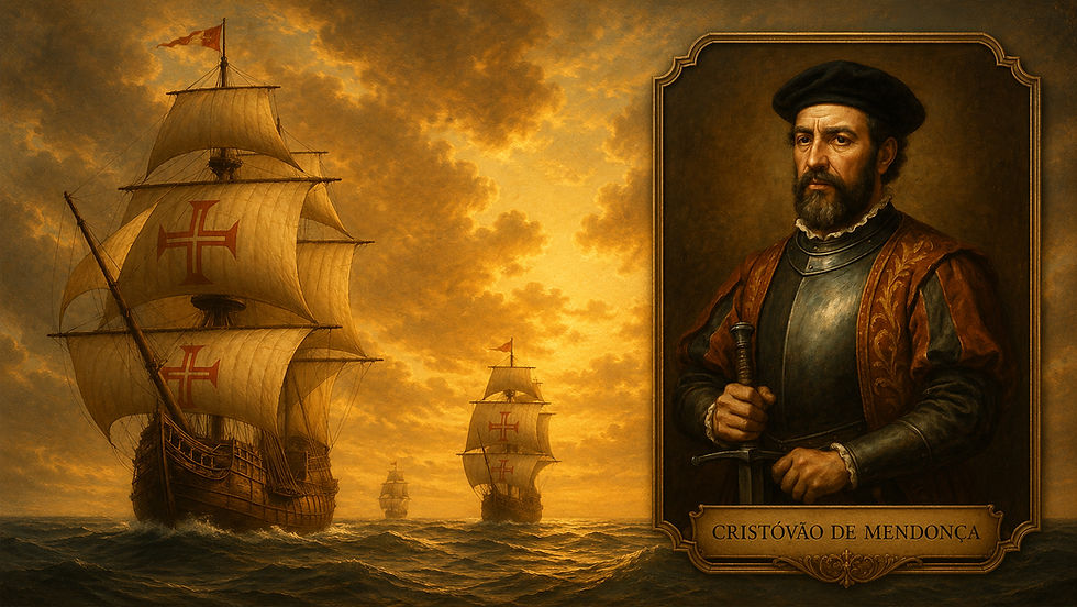
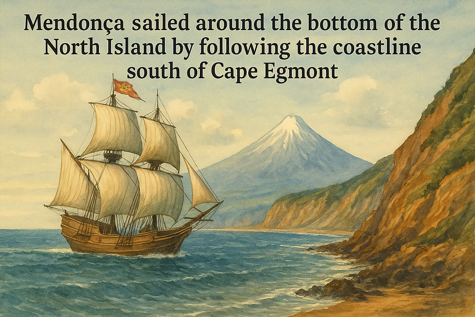
According to this interpretation, Mendonça’s expedition first made contact with New Zealand near Taranaki before sailing south through Cook Strait and then proceeding northward along the eastern coastline of the North Island. Once reaching the Auckland region, the expedition likely turned north to intercept the monsoon winds required for the return voyage to India. This may explain why Northland appears incomplete or absent from the portolan charts.
To continue reading Series 1 we invite you to join us:
Comments